Field work – what scientists do to study a certain phenomenon in its natural environment. For geology and paleontology, this means going out and crawling over the ground to find the necessary fossils or rocks.
One of the great mysteries of what I do as a paleontologist is the concept of field work. Last summer, I blogged about my field experiences as they were happening. I did this throughout last year’s 25-day field season. You can look at those posts here.
Now, I’d like to summarize ten summers of field work in the Hanna Basin of Wyoming. What it’s like. What we’re trying to learn. This will be mostly through pictures.
Where do you work?
The Hanna Basin is in south central Wyoming, mostly north of Interstate-80 between Rawlins and Laramie.
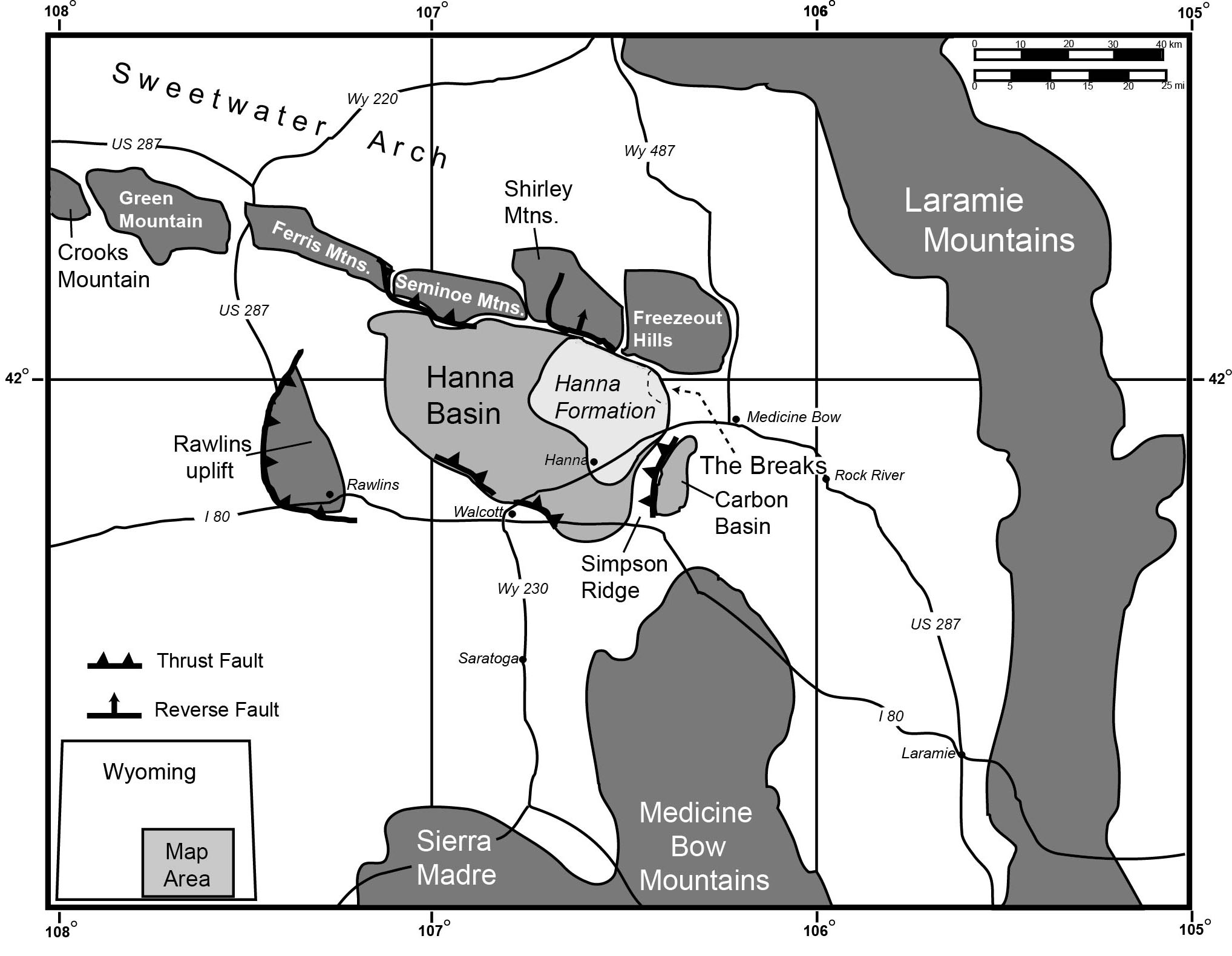
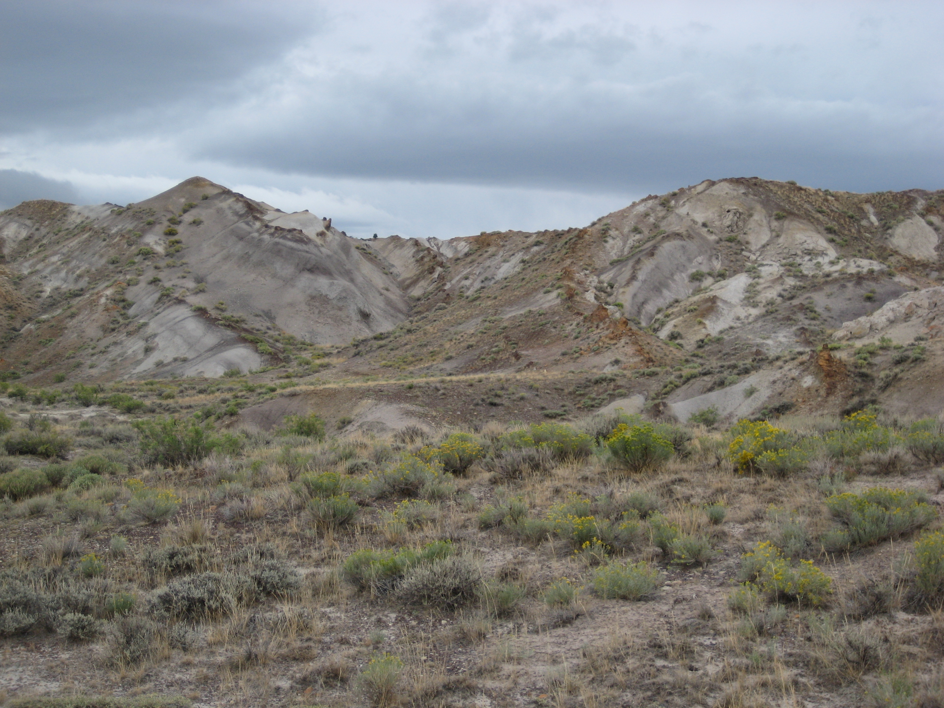
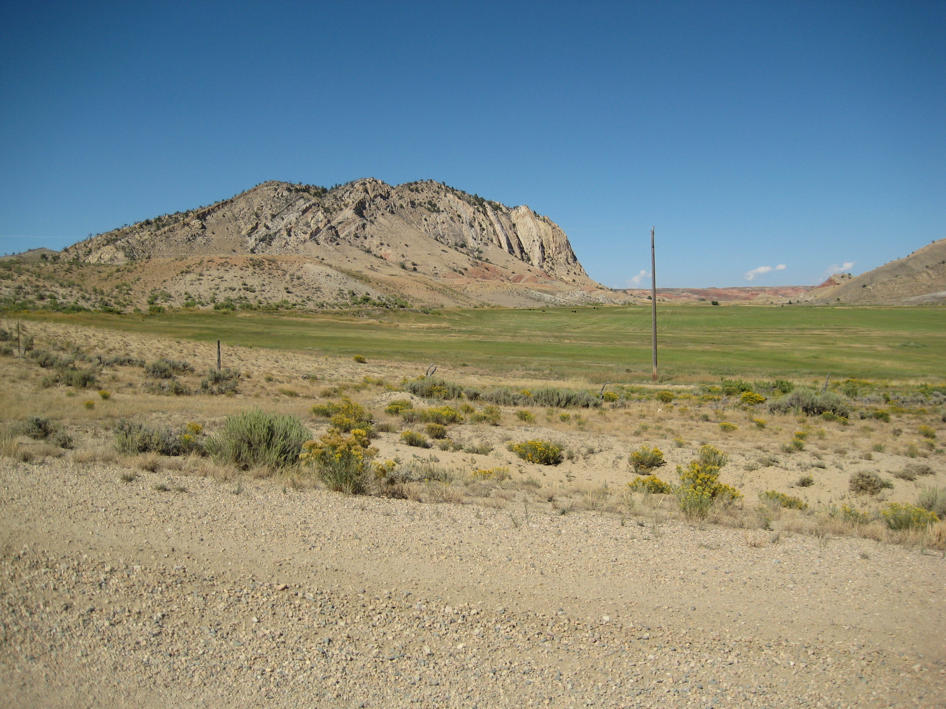
A basin (like the Hanna Basin) in geology refers to a place where sediments tend to accumulate. In Wyoming there are lots of basins that formed when the huge mountain ranges formed. The Hanna Basin seems like a small basin compared to the others in Wyoming, but it’s deep.
Why do you work there?
It’s filled with rocks from the latest Cretaceous Period into the early Eocene Epoch. This means it’s a good place to go if you want to study the extinction of the dinosaurs at the end of the Cretaceous and the expansion of mammals into the ecological niches once occupied by dinosaurs. It’s also a good place to study the Paleocene-Eocene boundary, a period in time when the Earth experienced rapid global warming.
For myself, I’m interested in the rocks that were deposited after the extinction of the dinosaurs. I study the diversification of mammals, and the effects that the rapid global warming at the beginning of the Eocene had on the Earth’s climate.
How do you live?
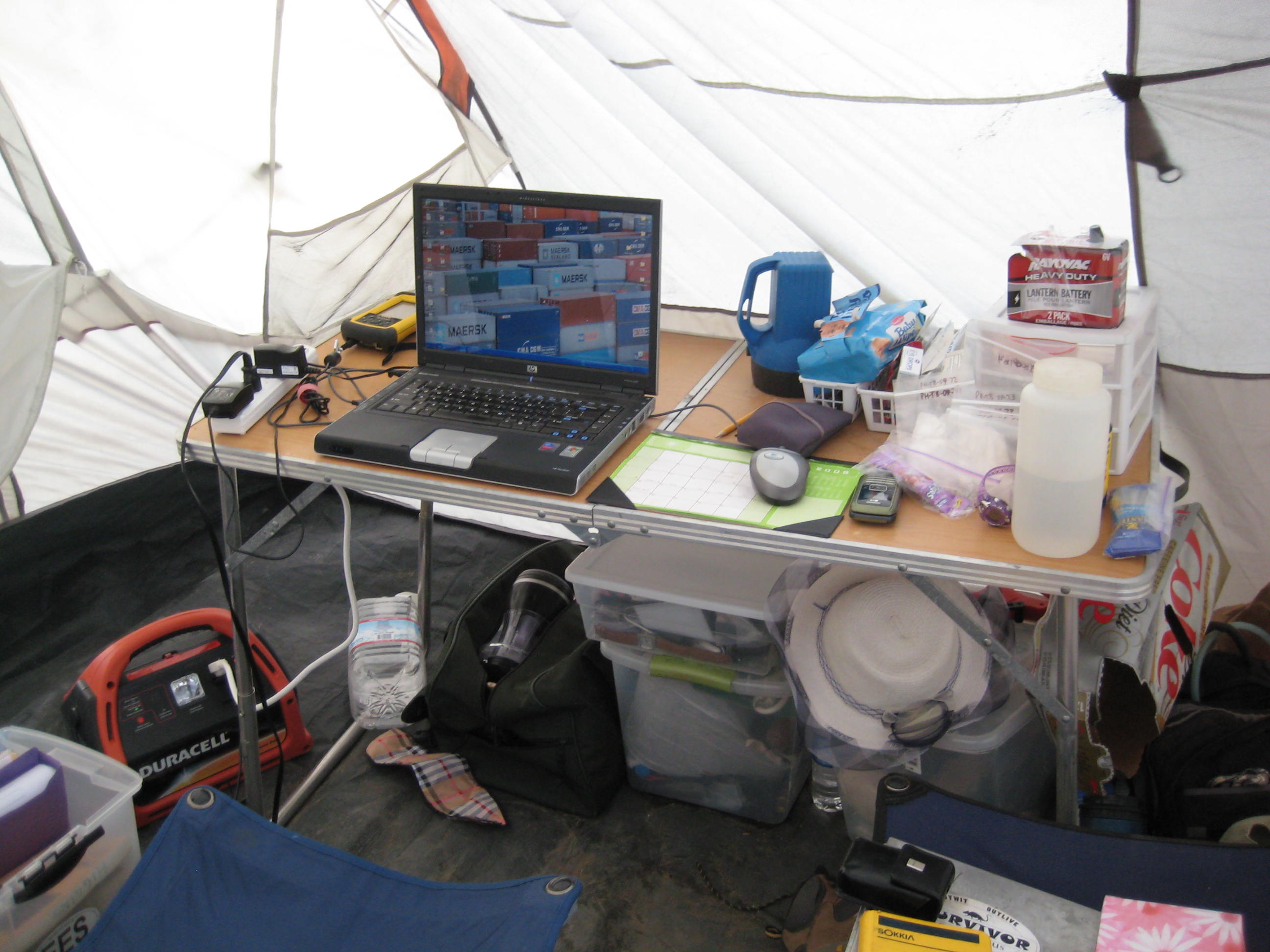
Once we’re out there, we’re at least one hour’s drive from paved roads. From there, it’s another hour of driving to anything resembling civilization.


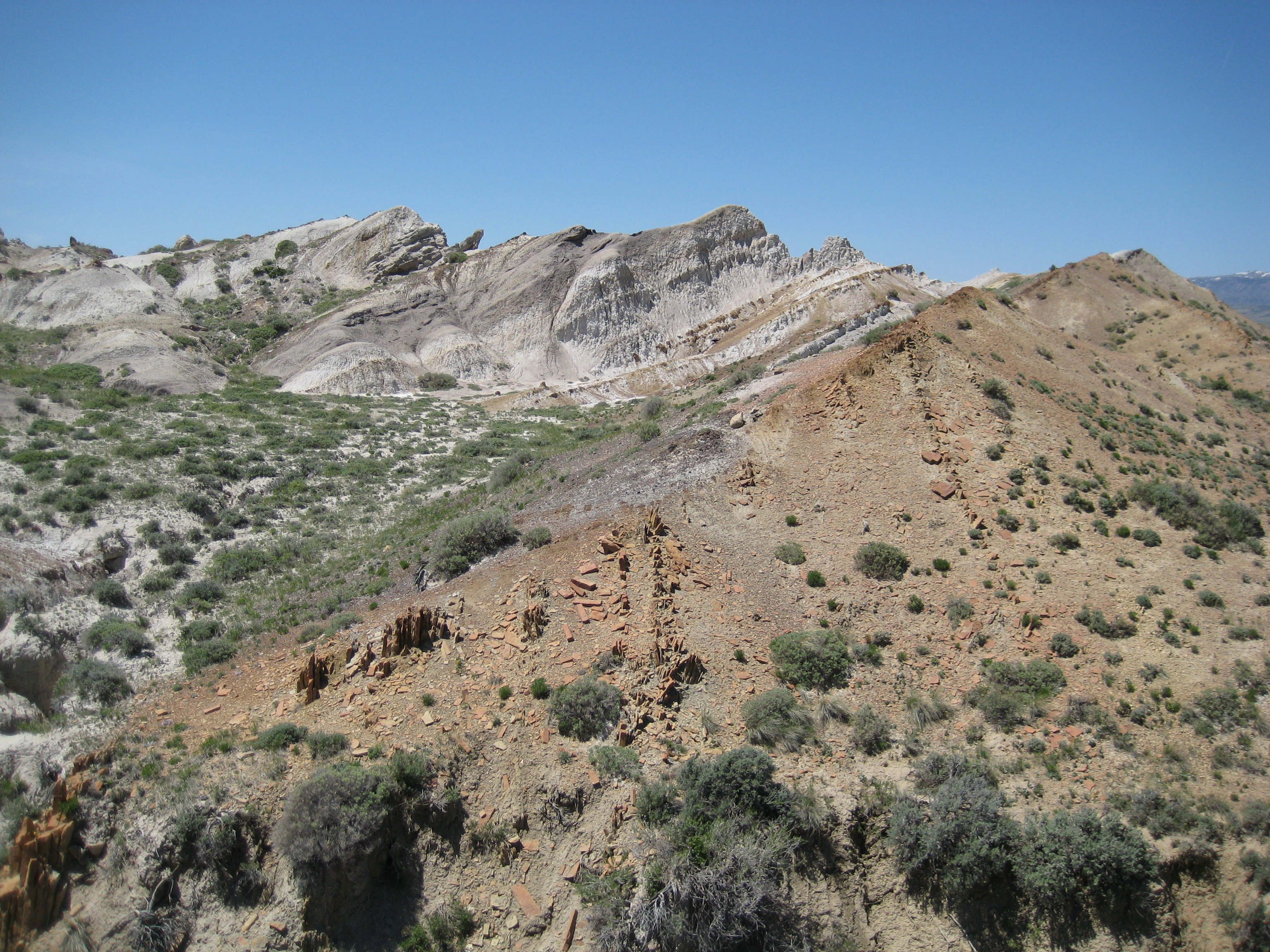
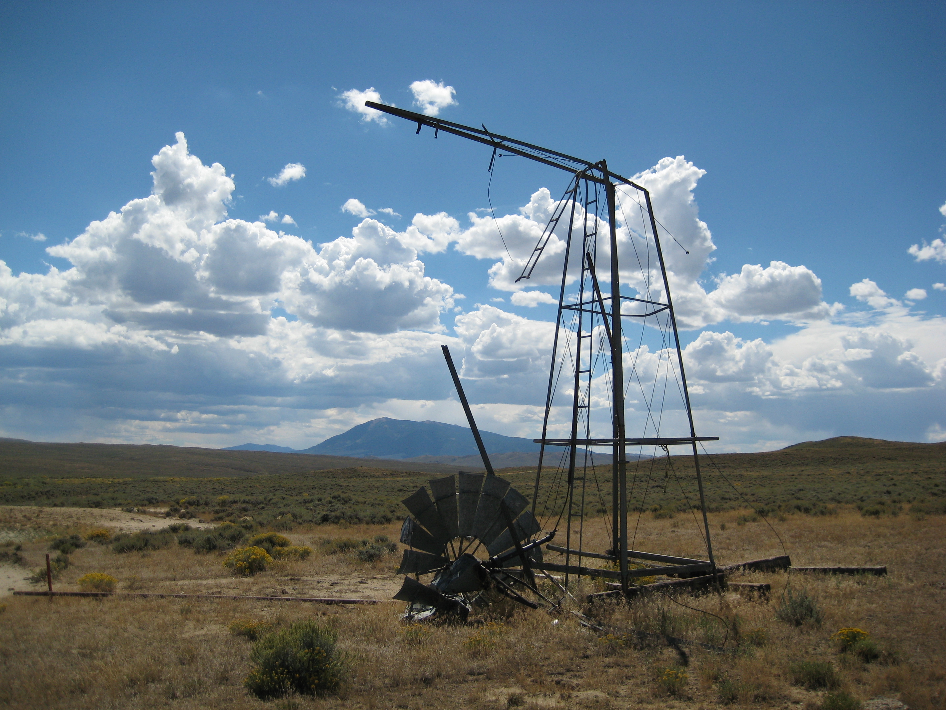
What do you see?


How do you know what age the rocks are?
No doubt your first thought is to use radiometric dating to come up with an age. Alas, even the things that look like ashes don’t seem to be datable.

Instead we just measure the rock thickness and assign ages of different exposures relative to others. That is, we know A is older than B. This process is called ‘measuring section’ and looks like this.

The tool she’s using is called a Jacob staff and is 1.5 meters long. You can see, if you compare to the rocks behind her, she’s holding it as if it were exactly perpendicular to the flat surface of the rock. This is how we can know how thick rocks are, even if they’re tilted or not exposed everywhere.

How do you find fossils?
Finding fossils often is just a matter of looking down while you walk around.


There is one important rule of paleontology, though.
You always find the best, most important fossil on the last hour of the last day of the field season.
How do you collect rocks?
Things I always carry with me for collecting are:
- zip-closure bags – many sizes
- toilet tissue
- fine-point permanent markers
- aluminum foil
- old empty prescription bottles (or film vials, if you have them)
- hammer
- picks (small ones for finer work)
Depending on what we’re collecting for, and the type of rocks, I might use a sledge hammer to knock a big chuck of rock off an outcrop to take home. I do carry a pickaxe with me as well.

Sometimes, if we want to do geochemistry on our samples later, we’ll wrap them up in aluminum foil and put them in a bag to take home.
Individual specimens will be wrapped carefully in toilet paper. If they’re small enough, they’ll be stuck into a bottle for extra protection.
Do you have any fun?


That was actually a very interesting peek into your world. Thanks for sharing it!
LikeLike
We’ve dug fish fossils in Kemmerer but haven’t found many plants in that area. Love your adventures… brings peace to the soul.
LikeLike